Attachments and GPS paths
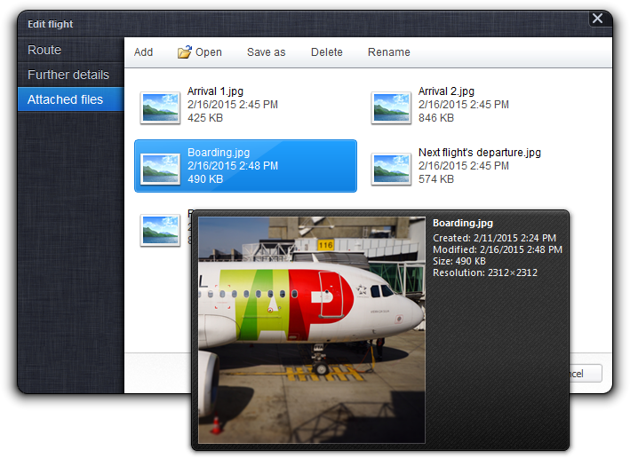
Flightmap allows you to attach files to individual flights. Flights with
attachments are indicated by the paperclip icon
 . Click on the
icon or choose the “Attached files” tab in the
“Edit flight” dialog to manage the
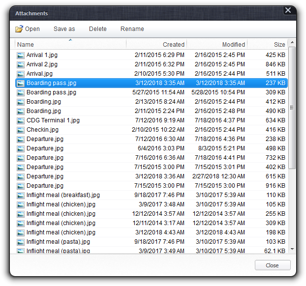
attachments of a single flight, or choose “Attachments” from the
“File” menu to review all attachments of
the itinerary.
. Click on the
icon or choose the “Attached files” tab in the
“Edit flight” dialog to manage the
attachments of a single flight, or choose “Attachments” from the
“File” menu to review all attachments of
the itinerary.
You can attach up to 16 files with maximum size of 1MB each to every flight. Attached files are copied into the itinerary, hence dramatically increase the file size. Attachments are not intended to store extensive photo collections from your travels, but maybe the recorded GPS path (see below) and low-resolution pictures of the inflight meal or boarding pass.
Depending on the file format of attachments, file compression might get disabled.
Managing attachments
The “Attached Files” tab provides a file manager that is similar to the Windows Explorer. The file view displays all files attached to the selected flight, with the toolbar above offering all available commands. Choose “Add” to attach more files to the flight—the dialog box allows you to select multiple files at once. After selecting an attachment, you can directly open the file with its default program, or save it to the Windows file system. The file manager also provides commands to delete or rename an attachment.
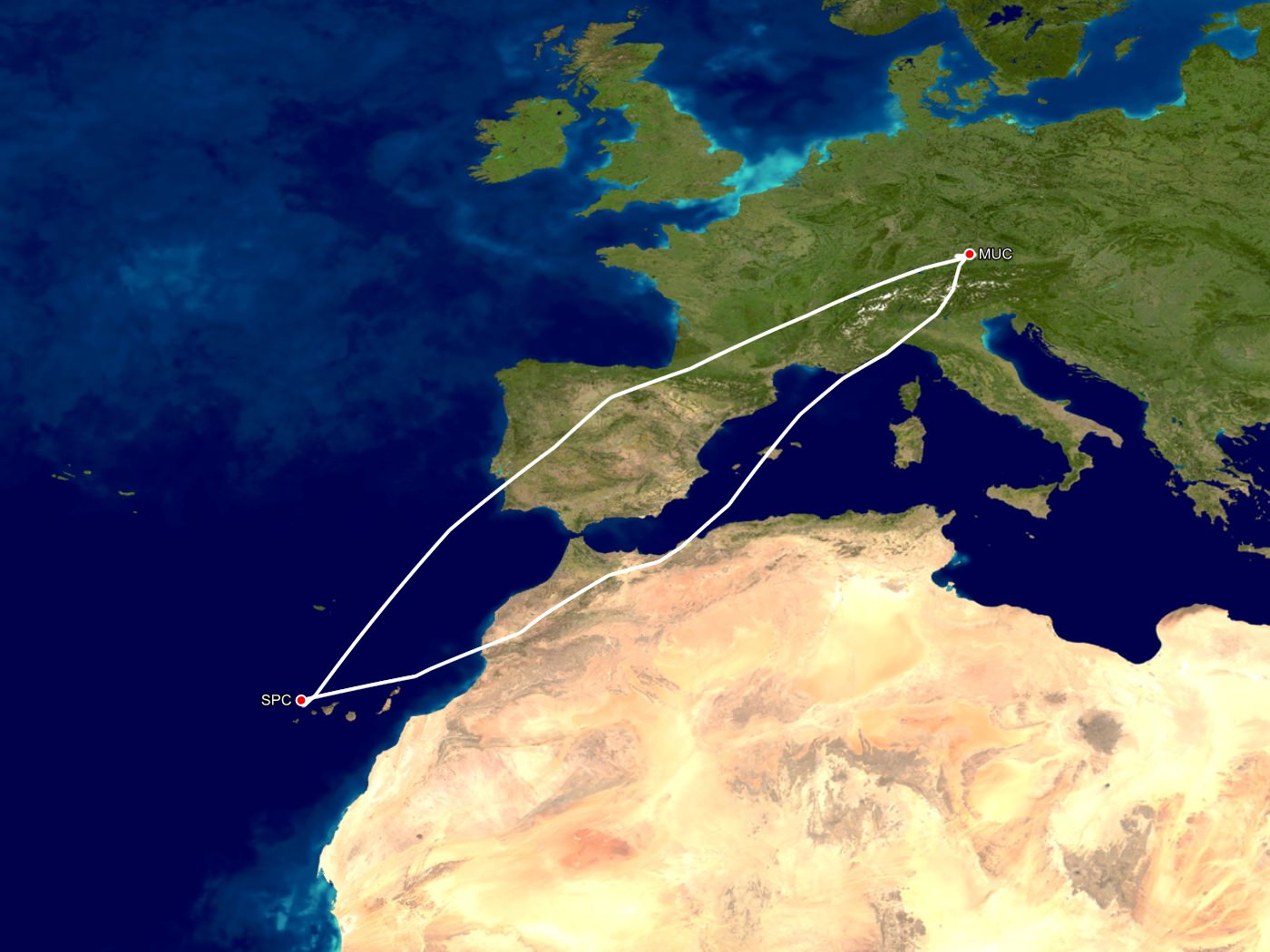
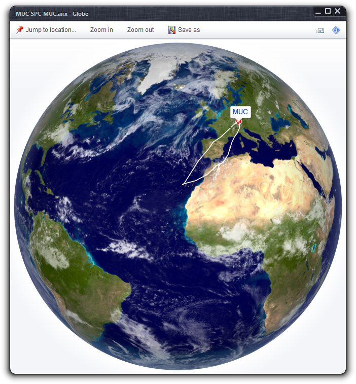
GPS paths
Flightmap can display the true flight paths of any flight using GPS tracking data in .gpx file format. Just attach the .gpx file to the flight. Valid .gpx files will be printed in green, invalid .gpx files in bright red. Flightmap will use the first valid .gpx file to display the flight, including maps, the 3D globe, and Google Earth.
.gpx is a file format based on XML, and in wide use with manufacturers of GPS equipment.
Screenshots